


The focus of this week’s lab was that of map projections. A map projection can be defined as “the transformation of coordinate locations from the earth’s curved surface onto flat maps.” Basically map projections are ways in which three-dimensional bodies can be represented on a plane. There are three ways to project the earth onto a developable flat surface based on geometric shape: azimuthal (plane), cylindrical (cylinder) and conical (cone). Without map projections we would not be able to create maps. Maps help us transform the 3D world into a two-dimensional surface.
However, all map projections distort the surface in some fashion, as some properties are lost at the expense of the others. Every distinct map projection distorts each map in a unique way. Some of the properties that are affected by this distortion include area, shape, direction (angles on the map), bearing, distance and scale. While it preserves some of these qualities others are compromised. By realizing how map projections distort reality an increase geographic awareness and map appreciation can be made.
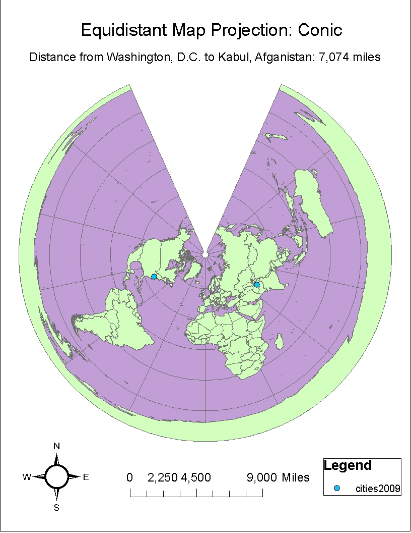
Of the six map projections in this lab, two are classified as equal area, two are conformal and two are equidistant map projections. Due to the fact that all projections result in some distortion of the earth, they are classified based on the properties that they maintain. Conformal projections preserve shape and area, equal area projections preserve area and equidistant projections preserve neither shape nor area but rather distance over a short area.
For my equal area maps I chose both the Mollweide and the Hammer-Aitoff projections. In both of these maps the area is preserved. For my equidistant projections I chose a Sinusoidal projection and a Conic projection. Both of these maps help preserve distance over a short area from a standard point or line. This can be seen in the fact that when comparing the two maps the distances from Washington, D.C to that of Kabul, Afghanistan do not differ by that many miles as seen in the other projections. The scale for these two maps is also the same, that of 9,000 miles. The Equidistant Conic Projection provides a “bird’s eye view” of the world resulting in a view from above. In both of these equidistant projections the shape and area are not preserved and one can witness a sort of stretching. For the conformal projections I chose both a Mercator and a Gall Stereographic Projection. Both of these maps help preserve shape and area but not distance. This can be seen in that fact that the distance from Kabul to Washington D.C. varies the most in these 2 projections.
All in all, map projections are very useful no matter what their distortion. No map is 100% perfect but that does not take away from their usefulness. Depending on what your needs are will help you figure out what map is best for your specific project or needs.
No comments:
Post a Comment